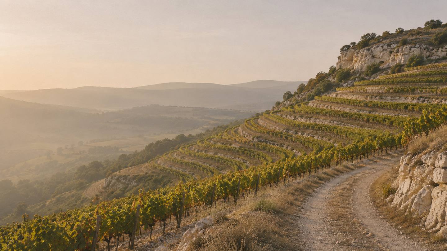
25 sheets · United States and France
Every appellation is a line somebody drew.
Some follow a creek bed. One follows a single contour around a mountain. This atlas draws each of them on a proper map and reads you the small print.
Coolest to warmest
The whole atlas in one list, ordered by how warm the growing season is. It makes for odd neighbours.Dundee Hills in Oregon and Chablis land on the same figure, 14.6 °C.
- Chehalem MountainsWillamette Valley14.5° C980
- ChablisBurgundy14.6° C1,010
- Dundee HillsWillamette Valley14.6° C1,010
- Eola-Amity HillsWillamette Valley14.8° C1,030
- Willamette ValleyWillamette Valley14.8° C1,040
- Gevrey-ChambertinBurgundy14.9° C1,070
- PommardBurgundy15.0° C1,100
- Saint-JulienBordeaux16.5° C1,400
- MargauxBordeaux16.6° C1,410
- PauillacBordeaux16.6° C1,420
- Sonoma CoastSonoma County16.6° C1,420
- Saint-EstèpheBordeaux16.7° C1,430
- SauternesBordeaux16.7° C1,440
- Saint-EmilionBordeaux16.8° C1,470
- PomerolBordeaux16.9° C1,480
- Russian River ValleySonoma County17.3° C1,570
- Dry Creek ValleySonoma County17.4° C1,580
- Howell MountainNapa Valley17.6° C1,640
- Sonoma ValleySonoma County17.9° C1,700
- Alexander ValleySonoma County18.3° C1,770
- Napa ValleyNapa Valley18.5° C1,830
- Los CarnerosNapa Valley18.6° C1,840
- RutherfordNapa Valley18.8° C1,890
- OakvilleNapa Valley18.9° C1,900
- Stags Leap DistrictNapa Valley18.9° C1,900
United StatesFranceAverage temperature, April to October · WorldClim 1970–2000
Three kinds of year
Each sheet is also sorted by the shape of its year: when the rain comes, and how far the warmest month is from the coldest. The rule uses the sheet’s own monthly figures and nothing else, and its thresholds are ours. The photographs show a kind of country. None of them is a place in this atlas.
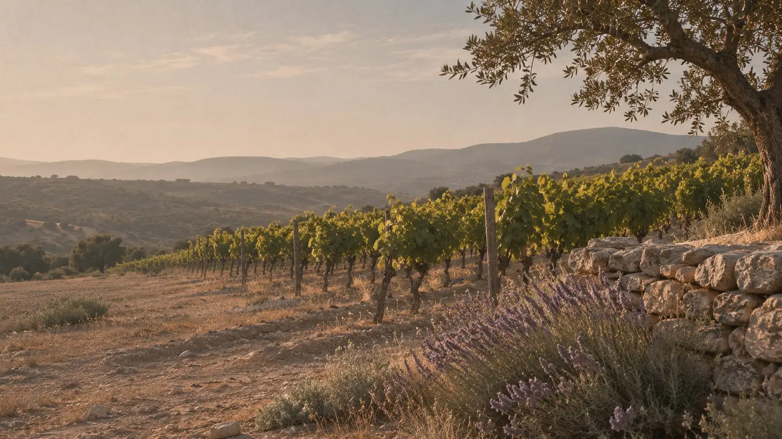
Plate I · the type, not a place Dry summer
The driest summer month brings under 30 mm of rain, and under a third of what the wettest month brings.
Every American sheet so far, Oregon included. Dundee Hills gets 15 mm in its driest summer month and 215 mm in its wettest month of the year. Oakville gets 1 and 153.
15 sheets
Alexander Valley · Chehalem Mountains · Dry Creek Valley · Dundee Hills · Eola-Amity Hills · Howell Mountain · Los Carneros · Napa Valley · Oakville · Russian River Valley · Rutherford · Sonoma Coast · Sonoma Valley · Stags Leap District · Willamette Valley
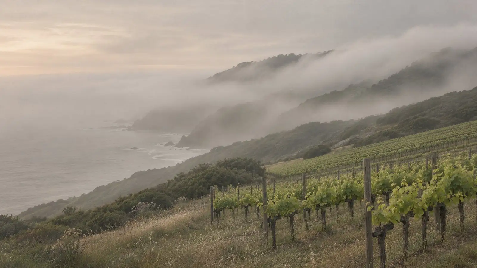
Plate II · the type, not a place Maritime
No dry summer, and under 16 °C between the coldest month and the warmest.
The Bordeaux sheets so far. Pauillac’s months run from 6.2 °C to 20.2, and its driest summer month still gets 46 mm.
7 sheets
Margaux · Pauillac · Pomerol · Saint-Emilion · Saint-Estèphe · Saint-Julien · Sauternes
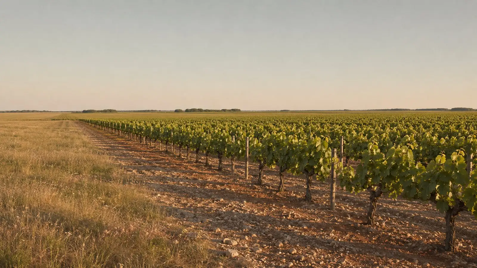
Plate III · the type, not a place Continental
No dry summer, and 16 °C or more between the coldest month and the warmest.
Chablis and the Côte-d’Or sheets so far. Chablis clears the line by 0.3 of a degree, which a 4.5 km grid could easily get wrong.
3 sheets
How a sheet gets made
American boundaries come from the UC Davis Library, whose volunteers have traced every AVA from the wording of the federal regulation. French ones come from INAO, which publishes the vineyard parcels of each appellation. We simplify the lines enough to draw them and leave them otherwise alone.
The climate figures are thirty-year averages from WorldClim, read off a grid of squares about 4.5 km wide. That is good enough to tell Oregon from Napa. It can’t tell Pauillac from Saint-Julien, and where it can’t, the sheet says so.
Grapes, soils and elevation aren’t on the sheets yet. They’ll go on when we have them from a source we can cite.Where everything comes from.